
Tactical GIS Map & Overview
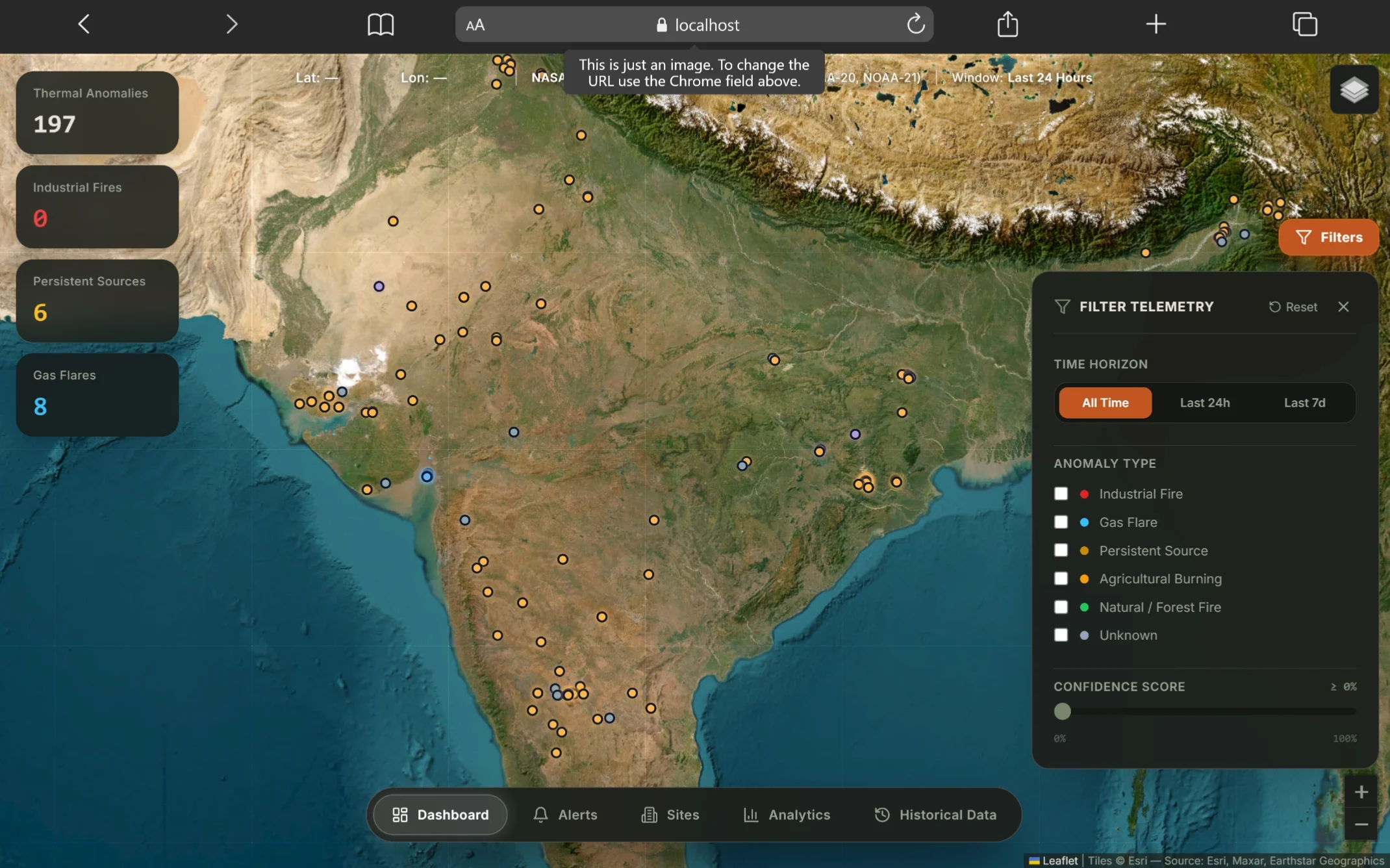
Live Hotspot Detections & Satellite Feed
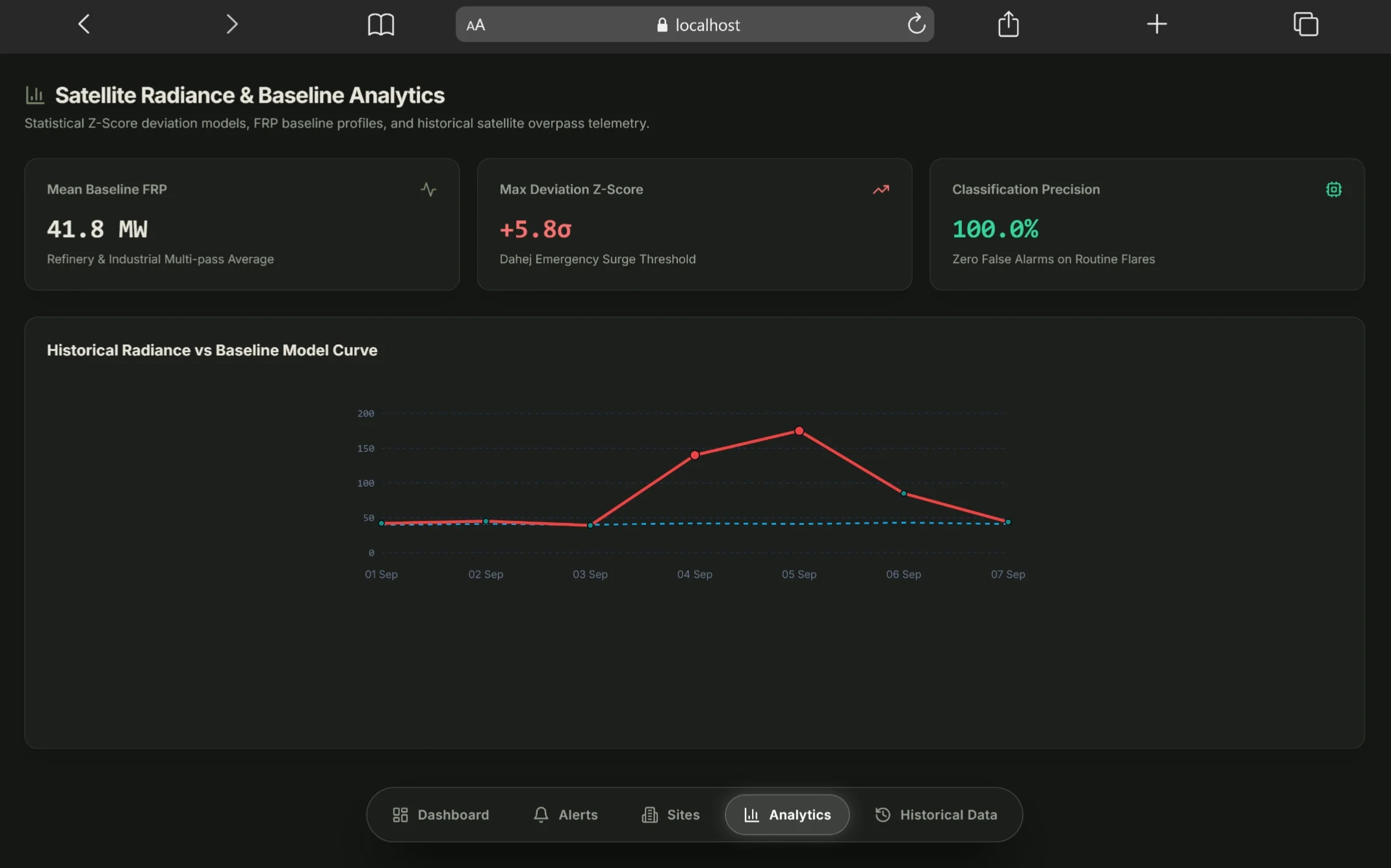
Statistical Baseline & Anomaly Analytics
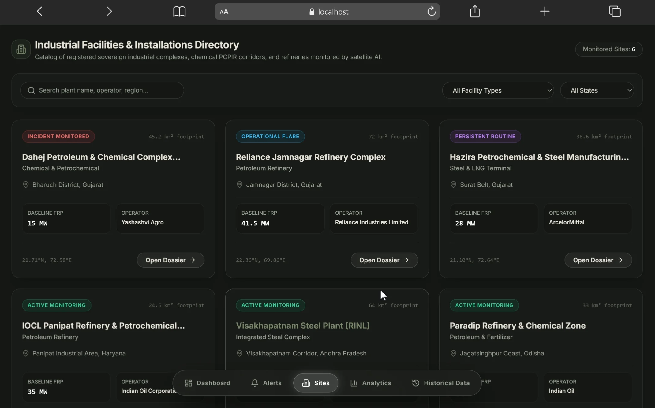
Industrial Facility Directory & OSM Boundaries
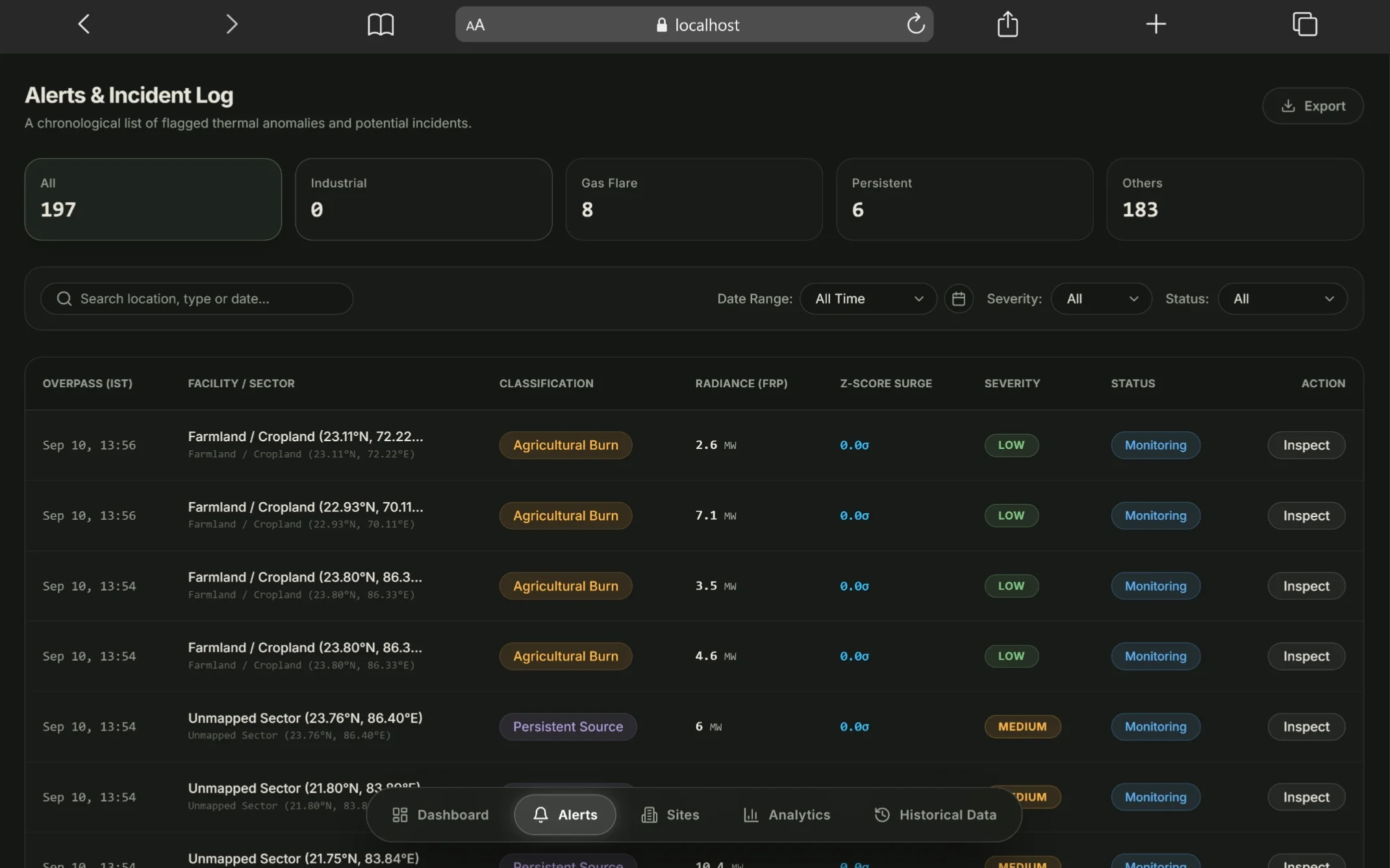
Analyst Alert Triage & Incident Audit Logs
Built for Smart India Hackathon 2026 (SIH'26) based on a high-stakes problem statement by the National Technical Research Organisation (NTRO), this platform distinguishes genuine catastrophic industrial fires from routine operational heat (gas flaring, steel furnaces) across industrial belts. By cross-referencing NASA VIIRS satellite hotspots against 5,550+ OpenStreetMap industrial polygons and establishing per-facility thermal baselines, the system eliminates threshold false alarms at zero infrastructure cost.
Sub-5s Satellite Geospatial ETL Pipeline
Ingests and indexes over 6,400 near-real-time thermal detections across India per pass from NASA VIIRS (Suomi-NPP, NOAA-20, NOAA-21) and MODIS satellites. Completes spatial joins against 5,550+ OpenStreetMap industrial boundaries in under 5 seconds per pass, combining raw Fire Radiative Power (FRP) with ESA WorldCover 10m land classifications in PostGIS.
Dual-Engine ML with Conformal Prediction
Fuses a 150-tree Random Forest classifier with an unsupervised Isolation Forest and Conformal Predictor. Calibrated on operational telemetry and historical disaster data, the pipeline achieved 100% recall on catastrophic chemical explosions while maintaining 0% false alarms on intense, routine refinery flaring.
Page's CUSUM Baselines & Spatial GNN Topology
Implements Page's Cumulative Sum (CUSUM) change-point monitoring alongside a 2-layer Graph Convolutional Network (GCN). By evaluating temporal baseline deviations and analyzing spatial hotspot graph connectivity, the model mathematically separates stationary industrial flare stacks from expanding multi-hectare disaster fronts.
SHAP Explainability & Hybrid Cloud Architecture
Generates real-time SHAP feature attributions so defense analysts inspect the exact mathematical drivers behind every critical alert, corroborated by Sentinel-2 20m SWIR burn scar indices. The production stack operates on a hybrid cloud model connecting a Next.js 14 frontend on Vercel Edge to a containerized FastAPI service on Render and Supabase PostGIS.